
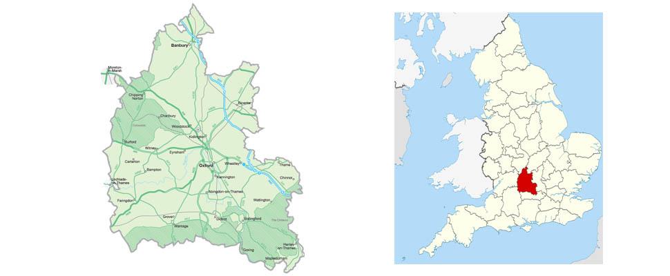
Oxfordshire is located to the north west of London, between the Chiltern Hills and Cotswolds Area of Outstanding Natural Beauty.
Spanning 1,006 square miles, Oxfordshire borders with Warwickshire, Northamptonshire, Buckinghamshire, Berkshire, Wiltshire and Gloucestershire.
The River Thames runs through much of the south of Oxfordshire flowing through Henley, Abingdon and Buscot while the main points of interest in the north of the county include Bicester and Banbury.
Famous for it's university, the centrally located county town of Oxford boasts a wealth of historical heritage sites. Despite being called London Oxford Airport, the city's airport is 100km from central London.
There are plenty of cycle paths right in the heart of the county and they all offer a either a delightful view and breath taking landscapes. If you're a keen walker, you'll find plenty of walks through the Oxfordshire Cotswolds to keep you out and about.
Zoom in and out of the map using the plus and minus icons in the bottom corner while selecting the map's markers will bring up more information about one of the featured towns or villages. Alternatively, click or tap the icon at the top left corner of the map to show a full list.
For directions, click on the icon of a red arrow in a white square that appears whenever a map marker or list item is selected.

© Visit South East England 2026. All Rights Reserved


