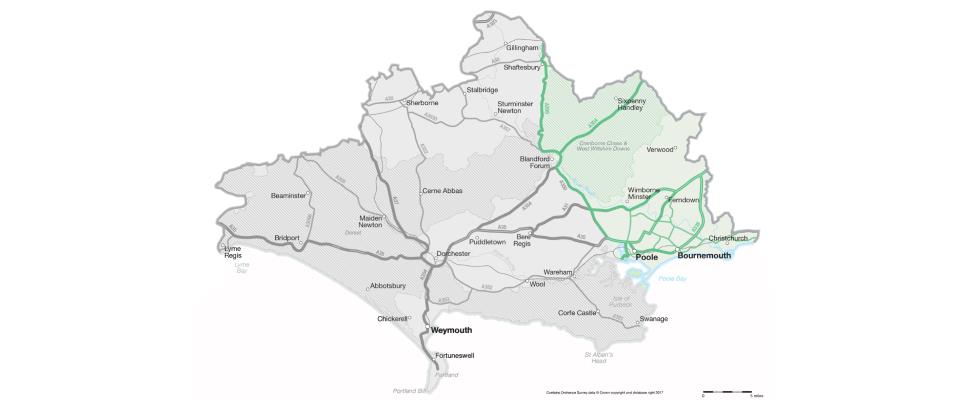
Dorset stretches from the county of Hampshire to the edge of Poole. Known as the gateway to the Jurassic Coast, this area links the South East to the South West, and is a popular holiday destination due to is beautiful sandy beaches, easy access to the UNESCO World Heritage site and array of accommodation choices to suit all budgets.
The county of Dorset covers an area of 2,653 km² and has borders with Hampshire, Somerset and Wiltshire, both to the north, and Devon to the west. Its name comes from the county town of Dorchester, which was first settled by Romans in the 1st century. It includes the seaside towns of Bournemouth with its seven miles of sandy beaches, Christchurch with its historic town and pretty harbour, countryside and sandy beaches and Poole home to the largest natural harbour in the UK and further 3 miles of sandy beaches.
Dorset is best known for the iconic limestone arch of Durdle Door and the beautifully crescent shaped cove of Lulworth Cove, but its coastline is scattered with outstanding geology offering the chance to explore 185 million years of earth's history. The World Heritage Site stretches for a total of 96 miles between Dorset and East Devon and offers the chance to enjoy stunning scenic views, fossil hunting and coastal walks. This was the first natural site in England to make the UNESCO World Heritage list.